

Where Cairo University Is in Giza
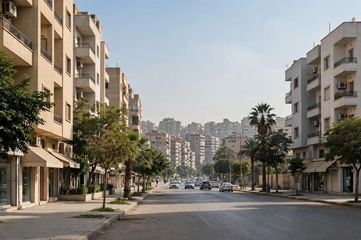
Cairo University’s address is Gamaa Street, Giza, Egypt. Its land overlooks the River Nile, and parts of the university extend across Cairo and Giza governorates. In Giza, the campus boundaries are El Gamaa Street, El Gamaa Square, Teraat El Zomor Street and the Ministry of Agriculture’s El Basatin Department.
The university was inaugurated as a private university on December 21, 1908. Its permanent Giza campus took shape later: the foundation stone was laid on March 30, 1914. The campus has three named zones: Renewal, or the Modern Zone; Bridge, the Transitional Zone; and the Heritage Area, the university’s Old Heart, with its dome and earliest buildings.
Campus Access and Visitor Rules
General visitor information about identification, registration, opening hours and admission is not published. If your plans depend on entering a particular building or facility, check the official site before you go.
The campus includes the Grand Celebrations Hall, university hospitals, the Faculties of Arts and Law, student hostels, and faculties covering economics and political science, mass communication, archaeology and Dar El-Ulum.
It also includes the African Studies and Research Institute, the university Museum, the Central Library and the New Central Library. These are campus facilities, not a guarantee that every building is open to general visitors.
The university Museum opened in the main administration building in August 1989. Its stated purpose is to present the university’s political and cultural history and the development of its buildings.
Getting to the University from Nearby Transport Hubs
Cairo University is a station on Metro Line 2, which runs between Shubra El-Kheima and El-Mounib. The Cairo University–Om El-Masryeen section opened in 2000. Metro service toward Cairo University operates from 5:15 a.m. to 12:00 midnight; confirm current details before travelling.
Dokki, Bohooth, Cairo University, Faisal, Giza, Om El-Masryeen, Sakiat Mekki and El-Mounib are all in subscription zone 3. For airport arrival planning, see this Cairo airport taxi guide.
Cairo University is about a 15-minute drive from Amarante Pyramids Hotel, which can serve as a base for plans near the campus.
Using a Map to Plan Your Visit
Use Gamaa Street and the campus boundaries to orient yourself. A larger-map view is available, and the university’s Visual Identity Guidelines distinguish the Modern Zone, Transitional Zone and Heritage Area.
Check what a map covers before relying on it for directions inside the campus. Cairo University’s Faculty of Engineering offers a layout map and a directions map for its Zayed campus; those are not maps of the main Giza campus.
For a visit focused on a specific faculty or facility, confirm its location and access arrangements through the university’s information.
Nearby Places to Add to Your Plans
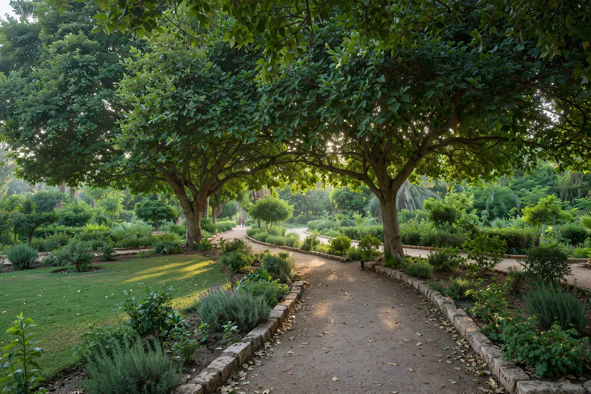
Orman Garden is identified as a campus-area landmark in an address document for Cairo University’s Faculty of Arts. Visitor access details for the garden are not provided there, so check its arrangements separately if you plan to go.
Giza Zoo can be a separate stop to consider when planning time in Giza. For practical details, read this guide to Giza Zoo tickets and opening times.
Staying Near Cairo University
For a stay with campus access in mind, compare the route that suits your plans: the Metro serves Cairo University, and a map link can help you locate the campus. Before making arrangements around a particular building, confirm that it is accessible to you as a visitor; general visitor information does not set out campus-wide entry instructions.